
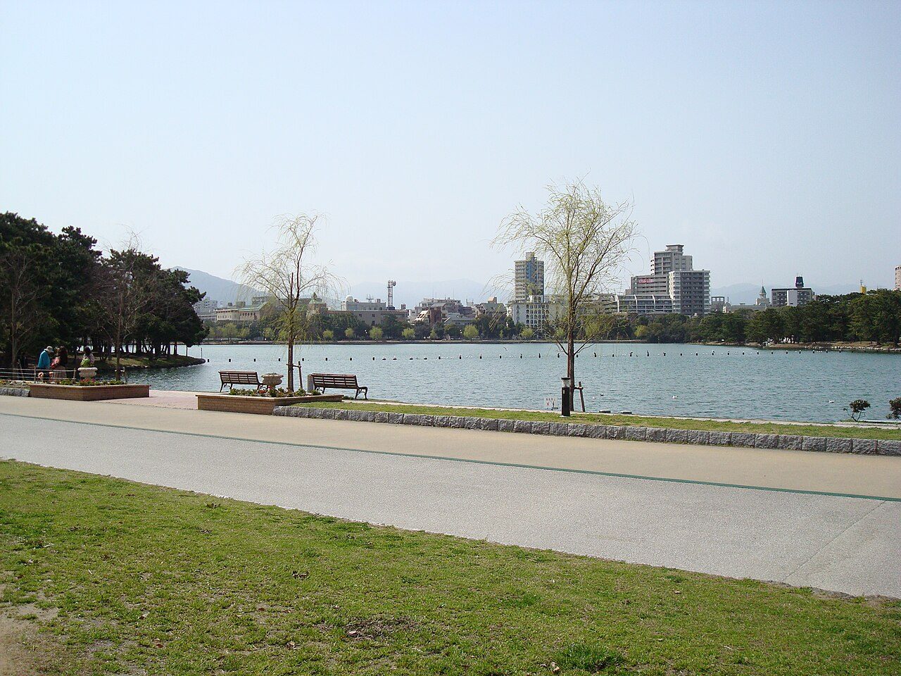
오호리공원
후쿠오카현 후쿠오카시, 일본
리더보드
KYRO 앱에서 볼 수 있습니다
공식 코스
코스 제안하기
사진: Tzuhsun Hsu from Taipei, Taiwan · CC BY-SA 2.0 © OpenStreetMap contributors, ODbL (boundaries, paths, names) Wikidata, CC0 (labels) 出典:「国立公園区域等」(環境省生物多様性センター)https://www.biodic.go.jp/nps_nwp_nca_cz.html を加工して作成(公共データ利用規約 第1.0版 PDL1.0) / Source: National Park Areas (Biodiversity Center of Japan, Ministry of the Environment), https://www.biodic.go.jp/nps_nwp_nca_cz.html, processed by KYRO (Public Data License 1.0, PDL1.0) Terrain Tiles (Mapzen, AWS Open Data; SRTM) © Mapbox