
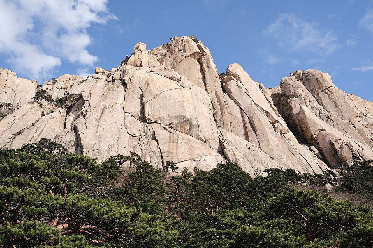
Seoraksan National Park Loop
- 12.6 kmDistance
- 1 h 22 minEst. Time
- Loop
- 6.51 km²Territory
Leaderboard
Available in the KYRO app
Route info
- Restrooms
- Water fountains
- Waterside
- No road crossings
From OpenStreetMap · within 100 m
Surface
- Dirt and gravel98% / 12.4 km
- Paved1% / 0.1 km
- Boardwalk1% / 0.1 km
Reviews
No reviews yet. Be the first.
The runners behind this route
Available in the KYRO app
Photo: kallerna · CC BY-SA 4.0 © OpenStreetMap contributors, ODbL (boundaries, paths, names) Wikidata, CC0 (labels) Terrain Tiles (Mapzen, AWS Open Data; SRTM) © Mapbox