
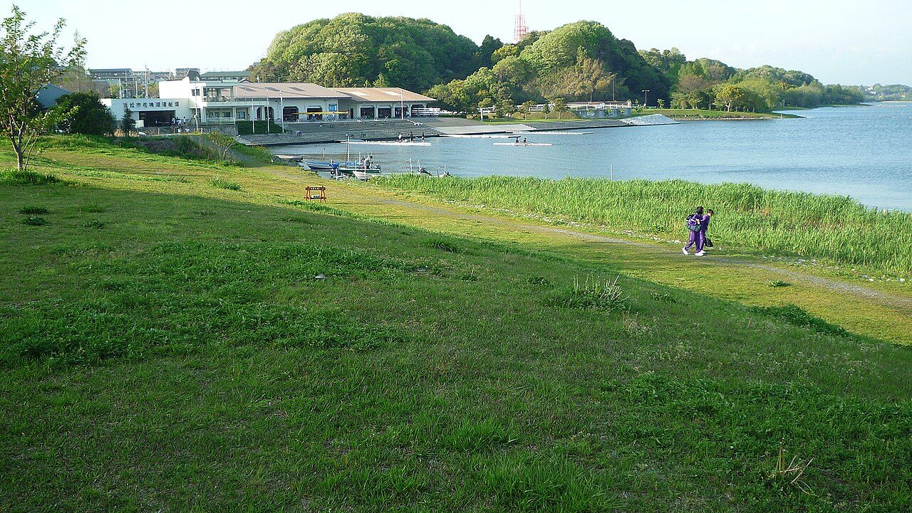
Lake Sanaru South Loop
- 5.9 kmDistance
- 39 minEst. Time
- Loop
- 1.33 km²Territory
Leaderboard
Available in the KYRO app
Route info
- Restrooms
- Water fountains
- Waterside
- No road crossings
From OpenStreetMap · within 100 m
Surface
- Paved71% / 4.2 km
- Dirt and gravel25% / 1.5 km
- Boardwalk4% / 0.2 km
Reviews
No reviews yet. Be the first.
The runners behind this route
Available in the KYRO app
A path runners made by running it
Photo: sewmew · Public domain © OpenStreetMap contributors, ODbL (boundaries, paths, names) Wikidata, CC0 (labels) 出典:「国立公園区域等」(環境省生物多様性センター)https://www.biodic.go.jp/nps_nwp_nca_cz.html を加工して作成(公共データ利用規約 第1.0版 PDL1.0) / Source: National Park Areas (Biodiversity Center of Japan, Ministry of the Environment), https://www.biodic.go.jp/nps_nwp_nca_cz.html, processed by KYRO (Public Data License 1.0, PDL1.0) Terrain Tiles (Mapzen, AWS Open Data; SRTM) © Mapbox